Leaflet TimeDimension Examples
Add time dimension capabilities on a Leaflet map
 Daily altimetry from satellite
 Temperature forecast from IBL Software Engineering
  SOCIB HF Radar
 Radar precipitation measurements above the Netherlands (from KNMI)
 Climate projection from Postdam Institute for Climate Impact Research
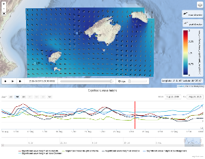
 SOCIB Wave Forecast (SAPO IB).
 SOCIB WMOP - Ocean Forecast
 SOCIB HF Radar with surface drifters trajectories
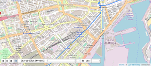
 GXP and KML tracks
 ImageOverlay and custom control
 Sea Surface Temperature from NOAA Operational Climate Data Records
 Noise-Commercial complaints from NYC OpenData
 TimeSeries in a point (demo of L.TimeDimension.WMS.timeseries Layer)
 NOAA's nowCOAST weather radar
 Oil spill simulation
 Portus wave forecast (TileLayers)
 Basic GeoJSON usage
 Integration with leaflet-velocity